What Affects Rates in Rogers
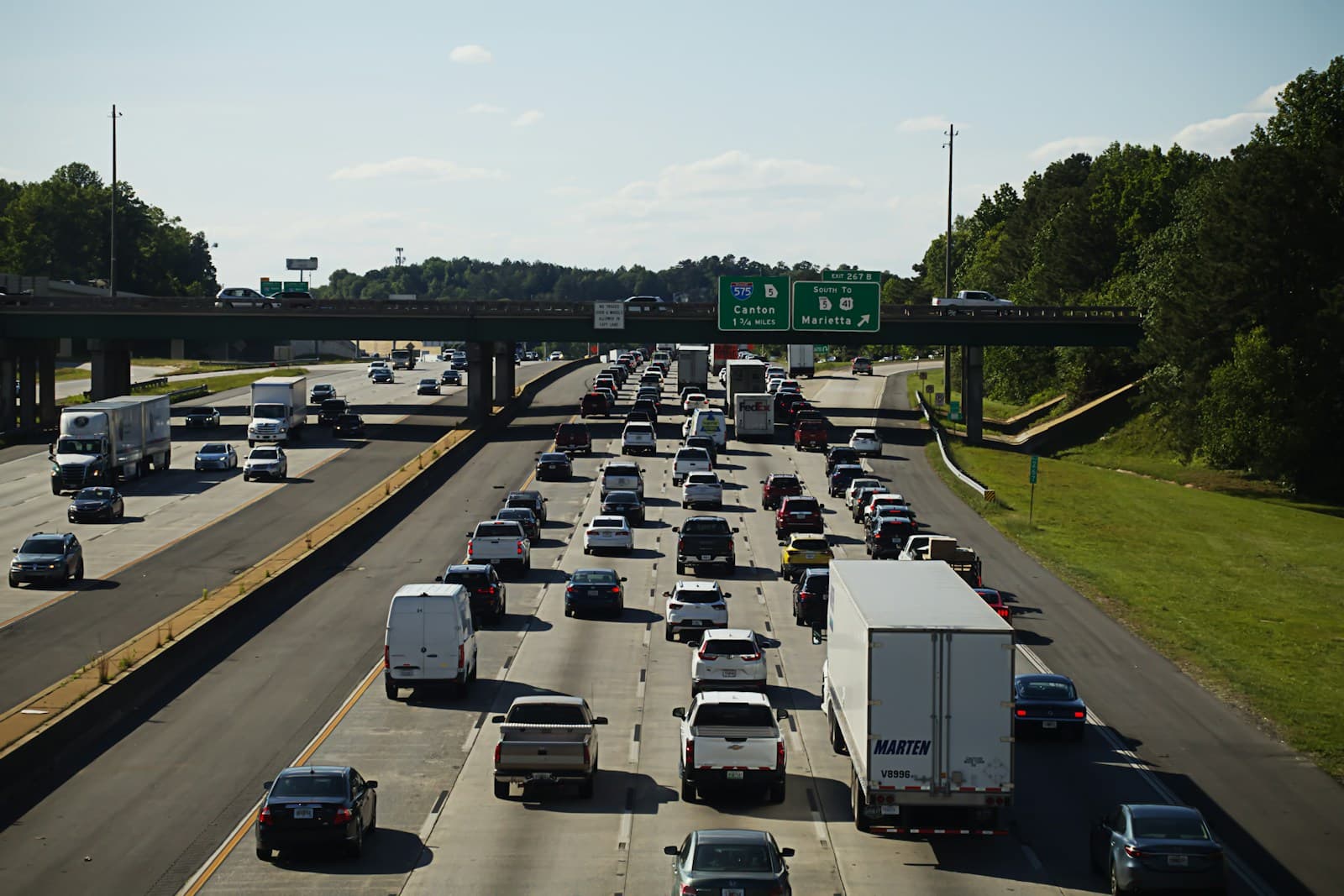
- Most Rogers drivers commute north to Bentonville or south to Fayetteville via I-49, adding 15-30 minutes of daily highway exposure. Rush hour congestion between the Walnut Street and Pleasant Grove exits increases collision risk compared to side streets. Drivers using local routes like 8th Street or Dixieland Road typically see lower rates than daily I-49 commuters.
- Older neighborhoods east of I-49 near downtown Rogers and the historic district have higher vehicle break-in rates than newer subdivisions west of the highway. The area around Pinnacle Hills and the shopping corridor off Pleasant Crossing Boulevard sees fewer claims despite heavier traffic. Your ZIP code's proximity to retail centers along W. Walnut Street affects comprehensive coverage pricing.
- Rogers experiences multiple hailstorms each spring, particularly April through June, causing windshield and roof damage across the city. The 2020 Easter Sunday hail event resulted in widespread comprehensive claims for drivers carrying full coverage. Minimum liability drivers avoid these weather-related premiums entirely, though they absorb repair costs out-of-pocket.
- Benton County's uninsured motorist rate runs approximately 14%, slightly below the Arkansas state average but still substantial on high-traffic routes. The I-49/US-62 interchange and Walmart AMP concert traffic on event nights increase exposure to out-of-area drivers. Uninsured motorist coverage adds $8-15 monthly but isn't required if you're minimizing costs.
- Ongoing development along the I-49 corridor and west Rogers brings construction vehicles, unfamiliar drivers, and changing traffic patterns near New Hope Road and West Walnut Street. Rear-end collisions increase near active development zones as drivers navigate detours and new intersections. These temporary risk factors affect all Rogers drivers regardless of coverage level.
Find the minimum coverage that meets your state's requirements
Compare liability-only rates from carriers in your state — and see what discounts you qualify for.
Get Your Free QuoteCoverage Recommendations
Cost estimates are based on available industry data and vary by driver profile. These are not insurance quotes.
Minimum Liability
Covers your legal obligation in Rogers accidents but leaves you paying out-of-pocket for your own vehicle damage and medical bills.
$40-$60/monthEstimated range only. Not a quote.
Full Coverage
Adds $80-$150 monthly to cover hail damage and I-49 collision repairs, only cost-effective if your vehicle is worth more than $4,000-$5,000.
$120-$210/monthEstimated range only. Not a quote.
Uninsured Motorist
Covers medical bills when one of Benton County's 14% uninsured drivers hits you, adding $8-15 monthly to minimum policies.
$8-$15/monthEstimated range only. Not a quote.
Collision Only
Skips hail coverage to save $20-30 monthly while protecting against I-49 commute crashes, reducing full coverage cost by nearly half.
$50-$85/monthEstimated range only. Not a quote.