What Affects Rates in Plymouth
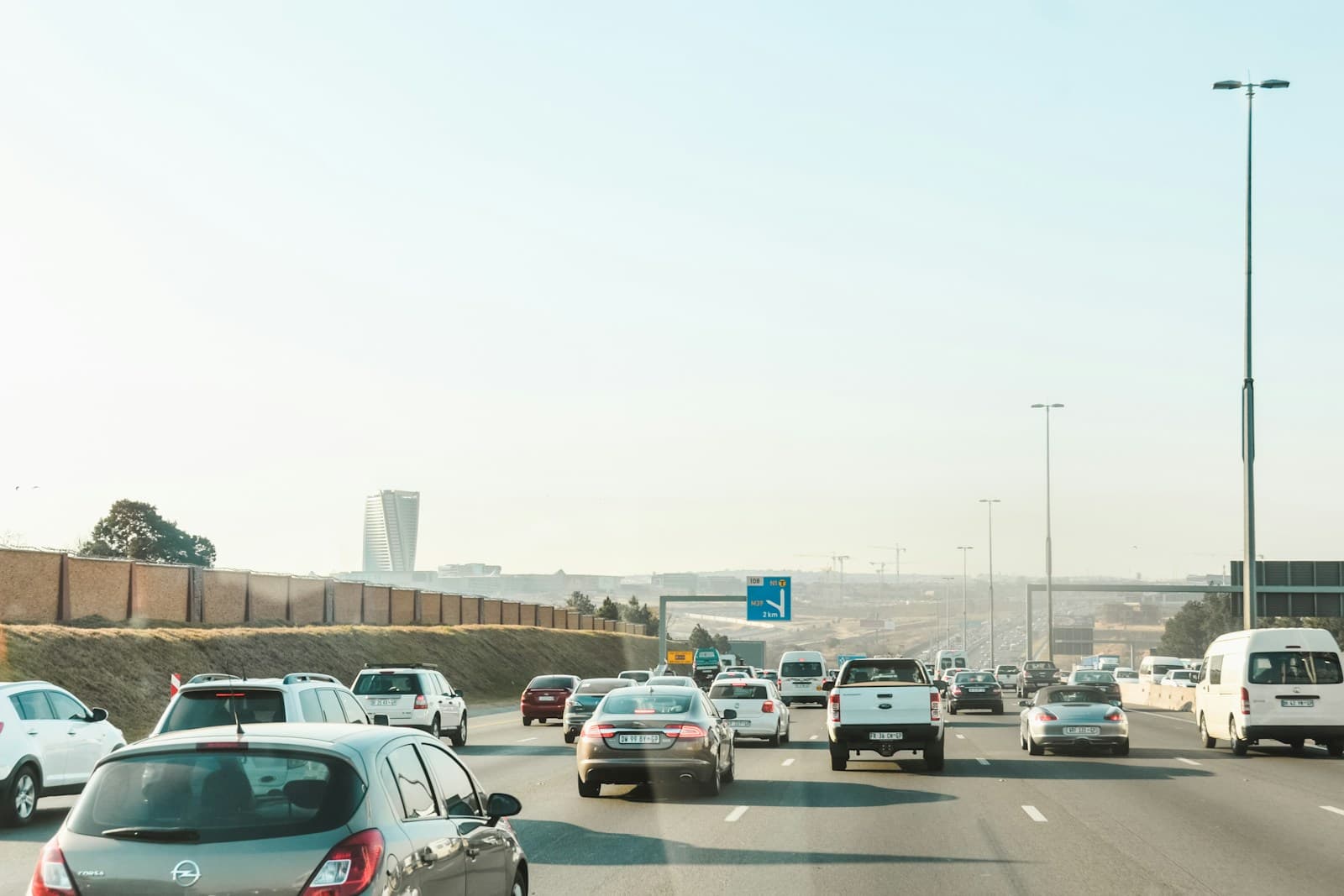
- Daily Highway 169 use is nearly universal for Plymouth residents commuting to Minneapolis or southern suburbs. This corridor sees frequent winter weather incidents and rush-hour congestion between County Road 9 and I-394, affecting collision rates. Drivers logging 15+ miles daily on 169 typically see 10-15% higher premiums than those working locally in Plymouth's commercial districts.
- The I-494 corridor through southern Plymouth carries heavy commercial and commuter traffic toward Maple Grove and Wayzata. Accidents cluster near the 169/494 interchange and Highway 55 exits during peak hours. Living near these interchanges correlates with slightly higher comprehensive claims from parking lot incidents at retail centers like The Shops at West End.
- Older neighborhoods near downtown Plymouth and Medicine Lake show lower theft rates than newer developments along Fernbrook Lane near the Maple Grove border. Homes with off-street parking in established areas west of Zachary Lane typically qualify for modest discounts. Areas near commercial zones along Rockford Road see higher vandalism claims.
- Plymouth averages 55 inches of snow annually, with Highway 169 and County Road 9 being priority plow routes while residential streets lag behind. First snowfall incidents spike on curved sections of Vicksburg Lane and 36th Avenue North. Comprehensive coverage denial is common for drivers choosing minimum liability who experience weather-related damage.
- Hennepin County's uninsured rate sits near 11%, meaning roughly 1 in 9 drivers on Plymouth roads carries no coverage. Minimum liability offers no protection if you're hit by an uninsured driver on 169 or 494. Adding uninsured motorist coverage costs $8-15/month but covers medical bills and vehicle damage the at-fault driver cannot pay.
Find the minimum coverage that meets your state's requirements
Compare liability-only rates from carriers in your state — and see what discounts you qualify for.
Get Your Free QuoteCoverage Recommendations
Cost estimates are based on available industry data and vary by driver profile. These are not insurance quotes.
Liability Only (30/60/10)
Covers your legal obligation after Highway 169 or 494 accidents but leaves you paying out-of-pocket for your own vehicle repairs and medical bills.
$45-65/monthEstimated range only. Not a quote.
Liability + Uninsured Motorist
With 1 in 9 Hennepin County drivers uninsured, this covers your expenses when an at-fault driver on 169 or County Road 9 cannot pay.
$55-80/monthEstimated range only. Not a quote.
Full Coverage
Only justified for newer vehicles or financed cars; adds $90-140/month to protect your own vehicle from Plymouth's winter weather damage and parking lot incidents.
$145-215/monthEstimated range only. Not a quote.
Collision Only Add-On
Addresses Highway 169 winter pileups and rush-hour rear-endings near 494 interchanges, but comprehensive claims from hail and deer are excluded.
+$50-85/monthEstimated range only. Not a quote.