What Affects Rates in Scranton
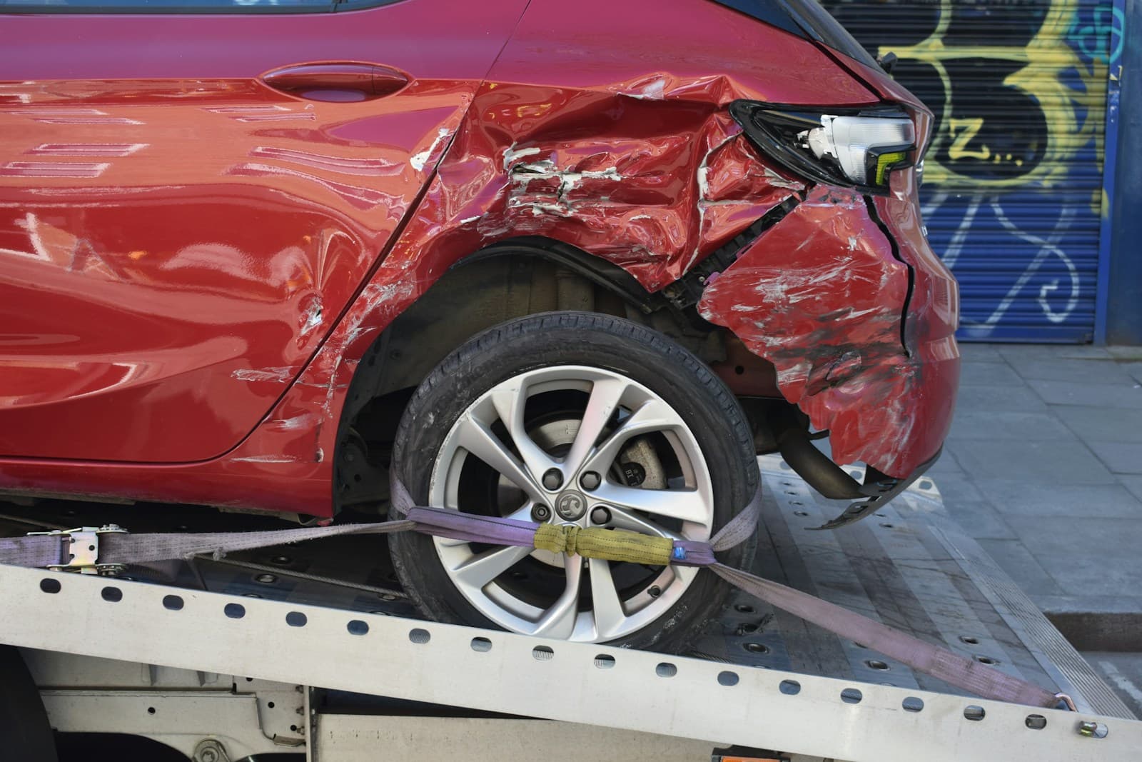
- Scranton sits atop abandoned coal mines, causing ongoing subsidence and road deterioration throughout South Side and Green Ridge. Pothole damage claims spike each spring, but comprehensive coverage that would cover this often costs more than older vehicles are worth. Drivers on minimum coverage pay out-of-pocket for suspension and tire repairs.
- Interstate 81 cuts directly through the city, bringing heavy truck traffic and higher collision rates near exits for Central Scranton Expressway and Moosic Street. Commuters using the Davis Street and Main Avenue interchanges face elevated rear-end collision risk during winter months. Liability limits matter here since multi-vehicle crashes are common.
- Scranton averages 45 inches of snow annually, with lake-effect bands from the Great Lakes creating sudden whiteout conditions on Route 6 and the North Scranton neighborhoods. Collision rates double December through February, but dropping comprehensive coverage saves $30-$50/month for drivers with vehicles under $5,000 in value.
- Theft and vandalism claims concentrate in West Scranton and South Side, driving rates 20-30% higher than Hill Section or North Scranton. Drivers in higher-risk ZIP codes (18504, 18505) paying for comprehensive coverage see the biggest premiums, while minimum liability remains relatively flat citywide.
- Lackawanna County's median household income runs below state averages, creating higher uninsured motorist exposure. About 12% of Scranton drivers operate without insurance despite legal requirements. Uninsured motorist coverage adds $15-$25/month but only protects your medical bills—not your vehicle.
Find the minimum coverage that meets your state's requirements
Compare liability-only rates from carriers in your state — and see what discounts you qualify for.
Get Your Free QuoteCoverage Recommendations
Cost estimates are based on available industry data and vary by driver profile. These are not insurance quotes.
Minimum Liability (15/30/5)
Covers your legal obligation in I-81 multi-vehicle crashes but won't repair your own vehicle or medical bills.
$85-$110/monthEstimated range only. Not a quote.
Liability Only (50/100/25)
Adds $20-$35/month but protects against lawsuit exposure from winter pile-ups on I-81 or Route 6.
$105-$145/monthEstimated range only. Not a quote.
Liability + Uninsured Motorist
Covers your medical costs when an uninsured driver hits you, common in South Side and West Scranton neighborhoods.
$100-$130/monthEstimated range only. Not a quote.
Full Coverage
Protects against pothole damage from mine subsidence and winter slide-offs, but costs $180-$280/month—rarely worth it for vehicles under $6,000.
$180-$280/monthEstimated range only. Not a quote.